


SEJournal Online is the digital news magazine of the Society of Environmental Journalists. Learn more about SEJournal Online, including submission, subscription and advertising information.
November 18, 2020

 |
|
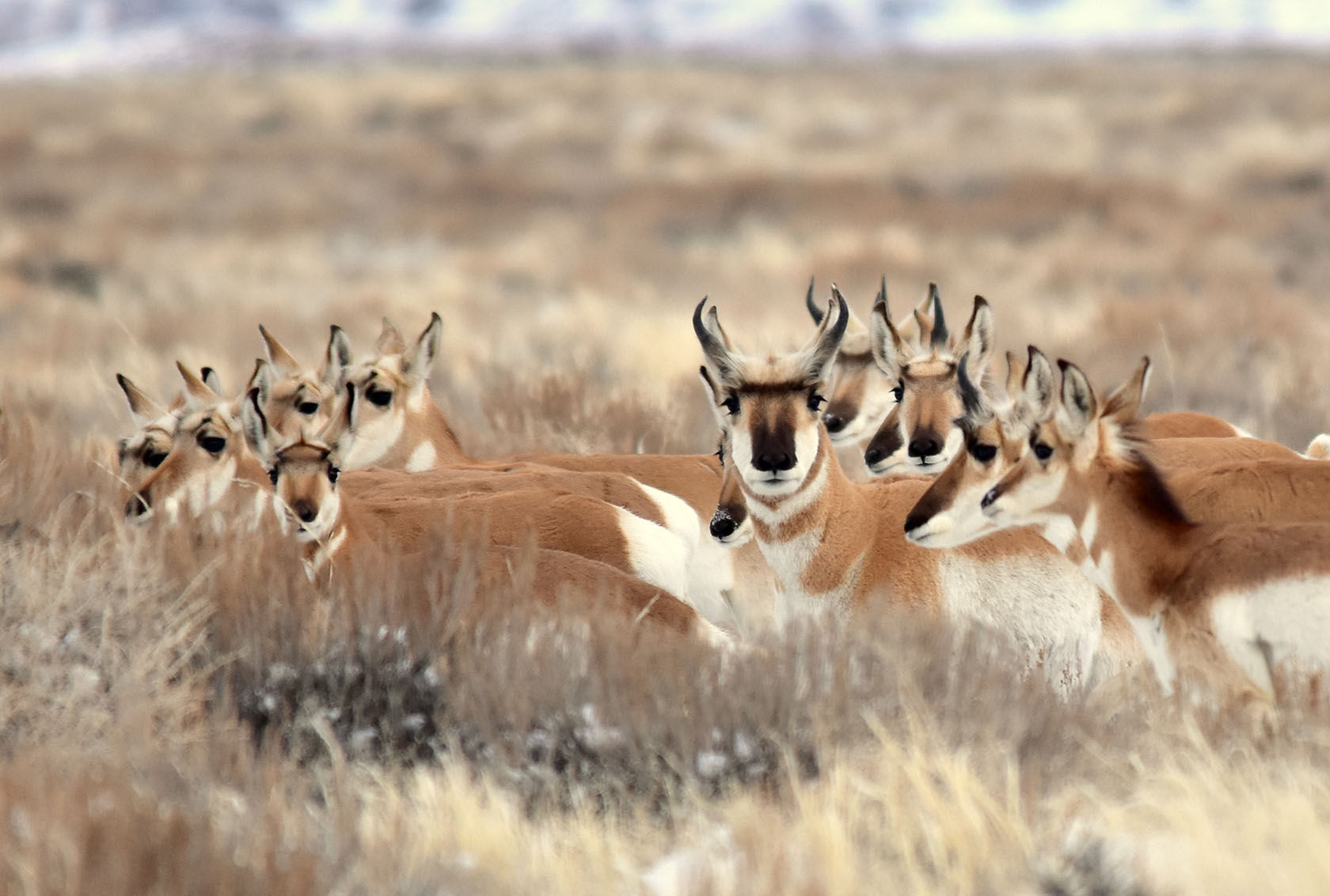
A new online mapping system tracks big game species activity in the Western states. Above, a pronghorn herd in the sagebrush at Seedskadee National Wildlife Refuge, Wyoming. Photo: Tom Koerner, U.S. Fish and Wildlife Service. Click to enlarge. |
Reporter’s Toolbox: New Mapping Software Offers Unique View of Western Wildlife Migration
By Joseph A. Davis
Elk? Moose? Bison? Environmental journalists often track their “quarry” in unique ways. These days, more helpful than a camera may be new online computer mapping software.
For instance, the 2020 Colorado wildfires that blew up in late October (and that still burn) destroyed huge areas of forests and wildlands. You might well wonder how they affected wildlife that range and migrate in those areas.
If so, check out the Western Migrations web portal. The U.S. Geological Survey, working with lots of federal, state and academic wildlife scientists, has just released an online interactive map of big game species activity in Western states.
Where the data comes from
The maps are based on data from satellites and other sources, with large animals collared with GPS devices and followed from on high.
The web portal tracks ungulates (hooved mammals such as mule deer, elk, pronghorn, moose and bison, with perhaps some mountain goats and bighorn sheep).
They are a range of charismatic megafauna, the kind that have been migrating across some Western lands since before the United States existed — lands impacted by human settlers in many ways: for example, logging, ranching, mining and damming, along with drilling, roads and fences.
How to use the data smartly
While the data has been compiled into a print book of maps, you may find it more useful as geodata. You can download most of it as shapefiles and metadata. That is a format useable by software like ArcGIS — which means you can layer it with other mapped data.
Not only scientists care about the data. Conservationists and environmental journalists can use it to monitor herd health.
And it doesn’t only show animal migration routes. It also shows their stopovers and winter ranges. It even breaks the animals down into individual herds. You can selectively map each.
States covered include Arizona, Wyoming, Utah, Nevada, and slivers of Idaho and Colorado.
Joseph A. Davis is a freelance writer/editor in Washington, D.C. who has been writing about the environment since 1976. He writes SEJournal Online's TipSheet, Reporter's Toolbox and Issue Backgrounder, as well as compiling SEJ's weekday news headlines service EJToday. Davis also directs SEJ's Freedom of Information Project and writes the WatchDog opinion column and WatchDog Alert.
* From the weekly news magazine SEJournal Online, Vol. 5, No. 42. Content from each new issue of SEJournal Online is available to the public via the SEJournal Online main page. Subscribe to the e-newsletter here. And see past issues of the SEJournal archived here.
SEJ Publication Types:
Topics on the Beat:
Visibility: